Marina
Sibenik County
Point Information
Captain Info
Captain Info for registered users
Get access to VHF channel, approach notes and more captain info.
Create a free account to access captain info for all locations.
Marine Conditions
Wind Protection
56%
Moderate protection. Avoid strong NE, N winds.
🛠️ Services & Amenities
Electricity
Fresh Water
Showers/Toilets
Restaurant
Shop
ATM
VHF Channel
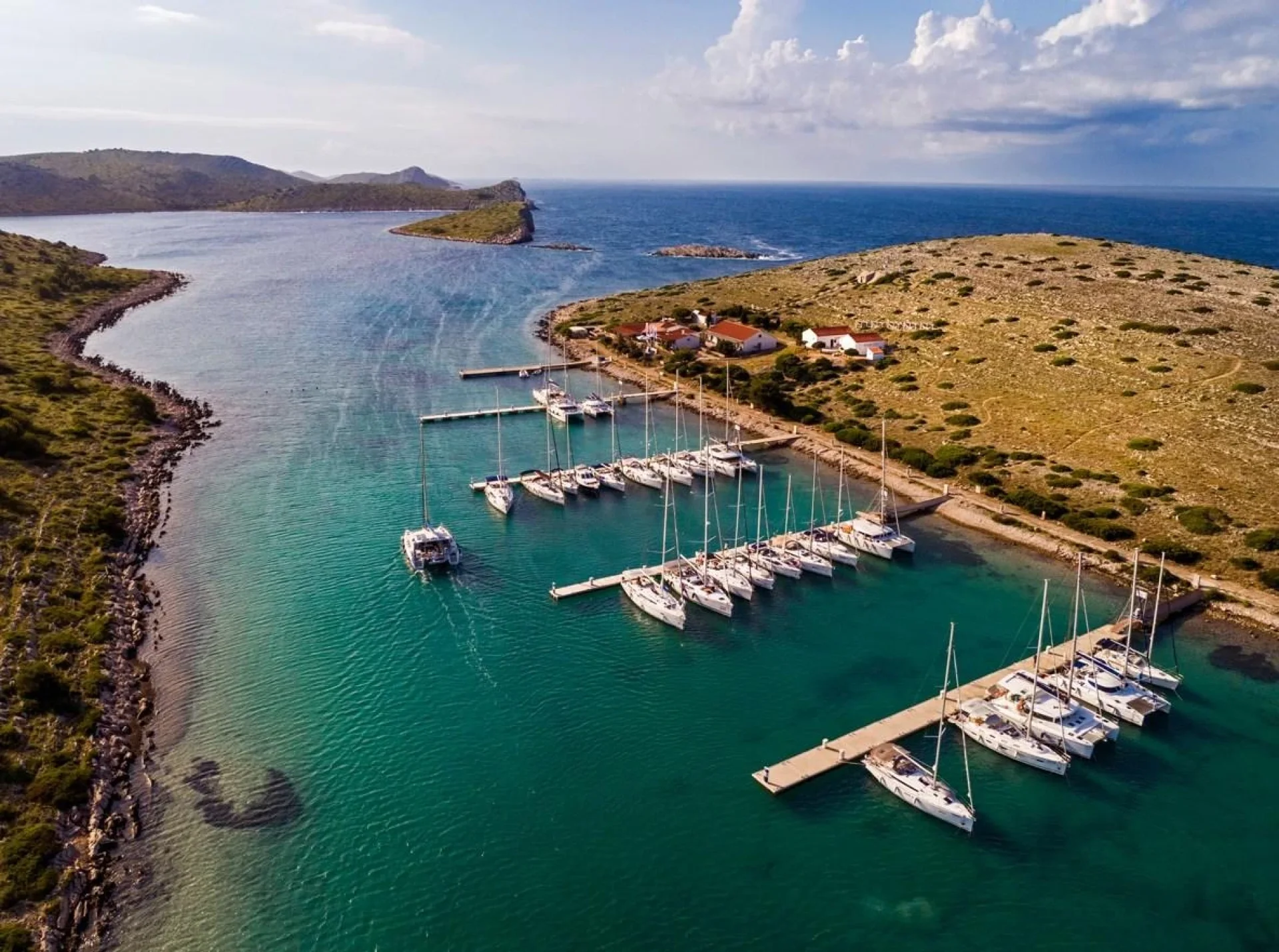
Marina
Description
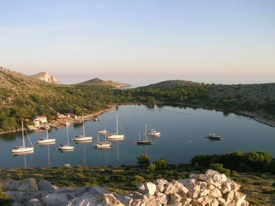
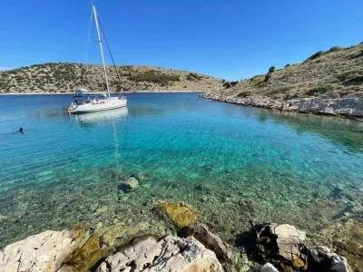
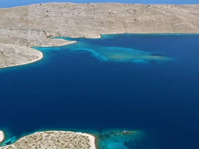
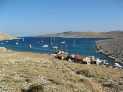
ACI Marina Piškera operates seasonally from April 1 through October 31 within Kornati National Park. The marina is located on Panitula Vela island, just off the western coast of Piškera. The price of the Kornati National Park ticket is included in the regular daily berthing price. The marina is well-protected from the northerly bura wind, but less protected from southerly winds. The National Park is usually entered from the north through the Proversa Mala and Proversa Vela straits, or from the south by sailing between Cape Opat and the island of Smokvica. When approaching from Proversa, the course leads through channels between numerous islands and islets. The most interesting feature of the Kornati Islands are the famous sea cliffs stretching along the western sides of several islands, the most beautiful being those on Mana and Rašip islands. In front of the marina entrance lie the island of Panitula Mala and Škanji Reefs. The approach from the north or west between Škanji Reefs and the southern cape of Panitula Vela Island is safe, with sea depth of 7 m. The southern cape of Panitula Vela Island (43°45.4' N 15°21.2' E) can be used as a landmark. The approach to the marina from the northwest between the islands of Panitula Vela and Piškera is shallow and dangerous due to numerous reefs. When approaching from Cape Opat the route is somewhat easier. The southern cape of the islet of Veseljuh (43° 45.8' N 15°22.4' E) can be used as a landmark, and behind it is the channel between the islands of Lavsa and Piškera. The marina is sighted immediately after passing through the channel.
Photos
Reviews (0)
Reviews
No reviews yet. Be the first to write one!